The Trans-Canada Highway connects Victoria, British Columbia, to St. John's, Newfoundland — one of the longest national highway routes in the world. A complete end-to-end drive, excluding mandatory ferry crossings, covers approximately 7,600 km of paved highway across all ten provinces. Completed in 1962 and officially designated as Highway 1 for most of its length, the route passes through terrain ranging from Pacific temperate rainforest to subarctic boreal shield to Atlantic coastline.
British Columbia
In British Columbia, Highway 1 begins at Mile Zero in Victoria on Vancouver Island. Travellers reaching the mainland take BC Ferries from Swartz Bay to Tsawwassen — a roughly 95-minute sailing — before the highway continues east through Metro Vancouver, the Fraser Valley, and the Thompson River canyon through Kamloops. From Kamloops, it climbs through the Selkirk and Purcell ranges before crossing into Alberta near Golden.
The Rogers Pass section, inside Glacier National Park, reaches 1,330 m and is managed under the Trans-Canada Avalanche Control Program — one of the most active avalanche mitigation operations in the world. The Canadian military and Parks Canada jointly manage this corridor using artillery-triggered controlled avalanches during high-risk periods. In winter, brief closures of one to four hours are common after significant snowfall events. Current conditions are available through DriveBC.
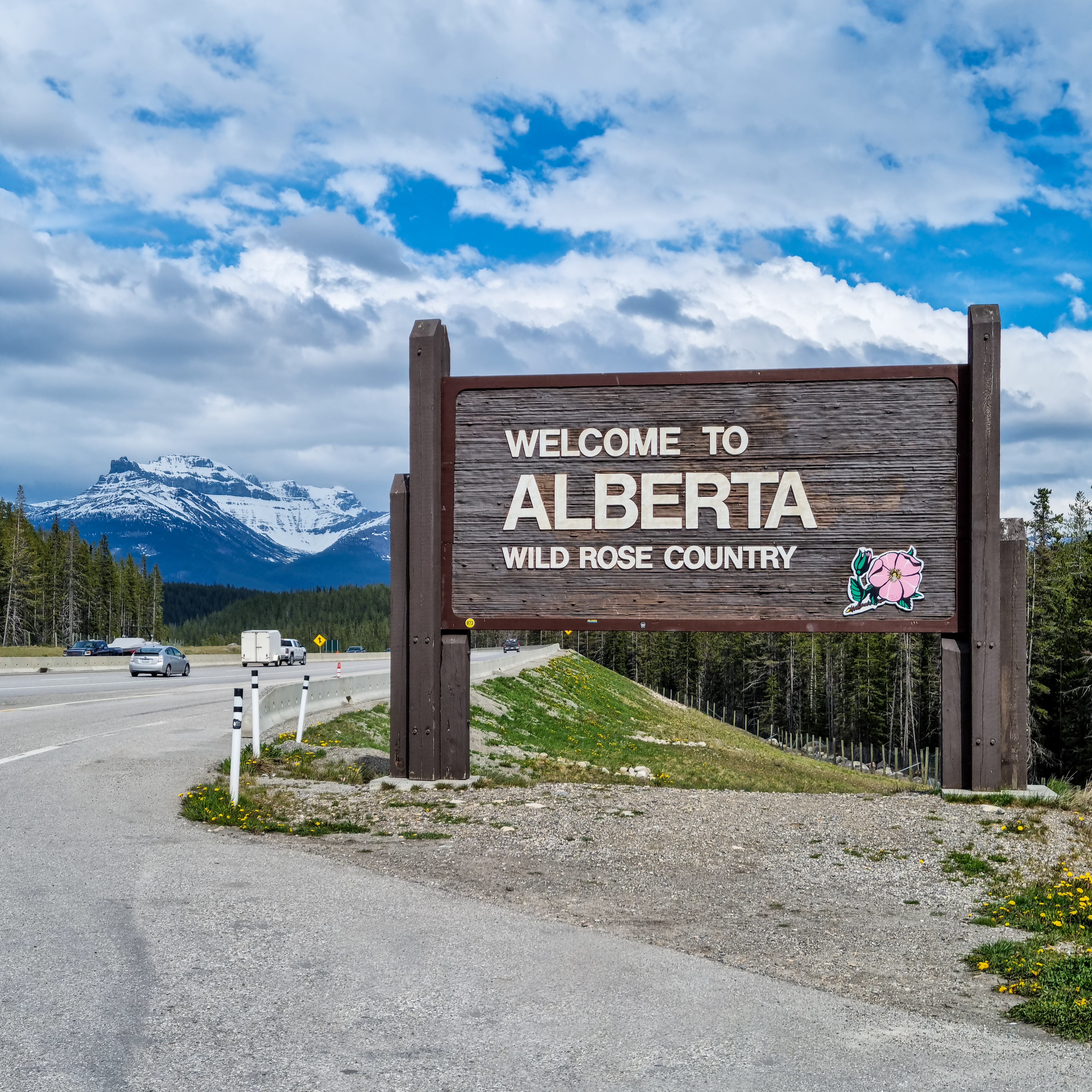
Alberta
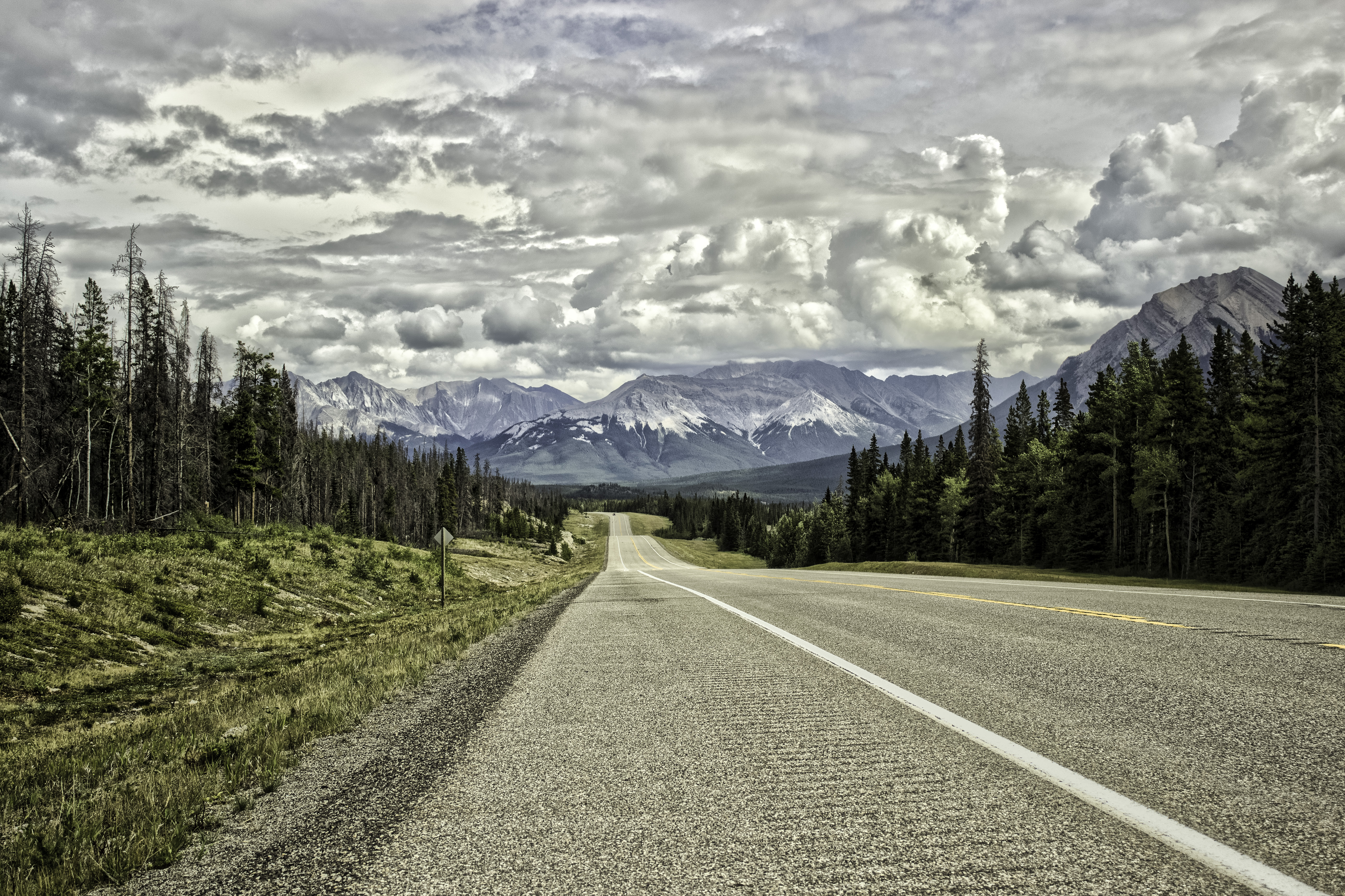
Crossing into Yoho National Park from BC, Highway 1 climbs to Kicking Horse Pass at 1,627 m — the highest point on the Trans-Canada corridor and the continental divide. The route descends steeply toward Field and Lake Louise before running through Banff National Park alongside the Bow River to Canmore and Calgary. Summer congestion between Canmore and Calgary's western outskirts is predictable on Friday afternoons and Sunday evenings; an extra hour should be factored into any schedule.
East of Calgary, the highway crosses flat prairie toward Medicine Hat and the Saskatchewan border. Services — fuel, food, and rest areas — are reliable throughout this section, and driving conditions are generally straightforward outside of winter blizzards, which can reduce visibility to near zero across the open plains.
Saskatchewan and Manitoba
Through Saskatchewan, the Trans-Canada runs via Moose Jaw and Regina across the southern prairies. The terrain is open with long sight lines and minimal grade changes, making it efficient driving. Wind, particularly from the northwest in autumn, can create handling challenges for high-clearance or towed vehicles between Moose Jaw and Swift Current.
Manitoba's section passes through Brandon before approaching Winnipeg. Highway 1 bypasses the Winnipeg city centre via the Perimeter Highway system. East of Winnipeg, the Trans-Canada enters the Canadian Shield and the landscape transitions from prairie to granite outcrops, boreal forest, and lake country. This eastern Manitoba section is notably different in character from the prairie driving immediately west of the city.
Ontario
Northern Ontario represents the longest and most logistically demanding portion of the Trans-Canada corridor. The route follows Highway 17 from the Quebec border west through Sudbury, north and west along the shore of Lake Superior to Wawa, and continues through White River, Marathon, and Nipigon before reaching the junction near Thunder Bay. Fuel station spacing on this stretch can reach 80 to 120 km between services. The recommendation among experienced Trans-Canada drivers is to fill the tank at every opportunity west of Sudbury and not rely on anticipated stations that may be closed or at reduced hours seasonally.
The Lake Superior north shore — particularly the 300 km between Wawa and Marathon — is considered one of the most visually compelling inland highway stretches in Canada. The lake appears intermittently through boreal tree cover, and several unmarked and official pullouts provide clear water views. Wawa's landmark goose statue and the cliffs near Agawa Bay are commonly noted landmarks. Ontario 511 (ontario.ca/511) provides road conditions for this region.
Quebec and the Atlantic Provinces
In Quebec, the Trans-Canada follows Highway 20 along the south shore of the St. Lawrence River from the Ontario border through Rivière-du-Loup and into New Brunswick. The route bypasses Montreal via Highway 20/40 and passes through communities with well-spaced service infrastructure. French is the primary language for highway signage and services through this section; fuel and rest facilities are consistently available.
From New Brunswick, Highway 1 continues through Moncton into Nova Scotia, ending at the ferry terminal in North Sydney. Prince Edward Island connects via the Confederation Bridge — a 12.9 km fixed-link crossing at Cape Jourimain — and is accessible as a detour off the main route. Newfoundland requires a Marine Atlantic ferry crossing from North Sydney to Port aux Basques (approximately seven hours) or to Argentia (approximately fourteen hours on the longer route). From Port aux Basques, Highway 1 continues across the island to St. John's, adding roughly 900 km to the final leg.
Seasonal Considerations
The Trans-Canada passes through climate zones with significant seasonal variation. The safest window for a full crossing is June through September, when mountain passes are open, Northern Ontario is in full road maintenance, and ferry service on the Newfoundland route is running at capacity. Spring crossings in April and May carry risk on BC mountain sections and can encounter frost heaves on Northern Ontario pavement that have not yet been repaired. Autumn crossings in October offer changing foliage through New Brunswick and Quebec but increasing probability of early snow on Alberta and BC passes.
Road condition resources: DriveBC (British Columbia) — 511 Alberta — Ontario 511 — Quebec 511