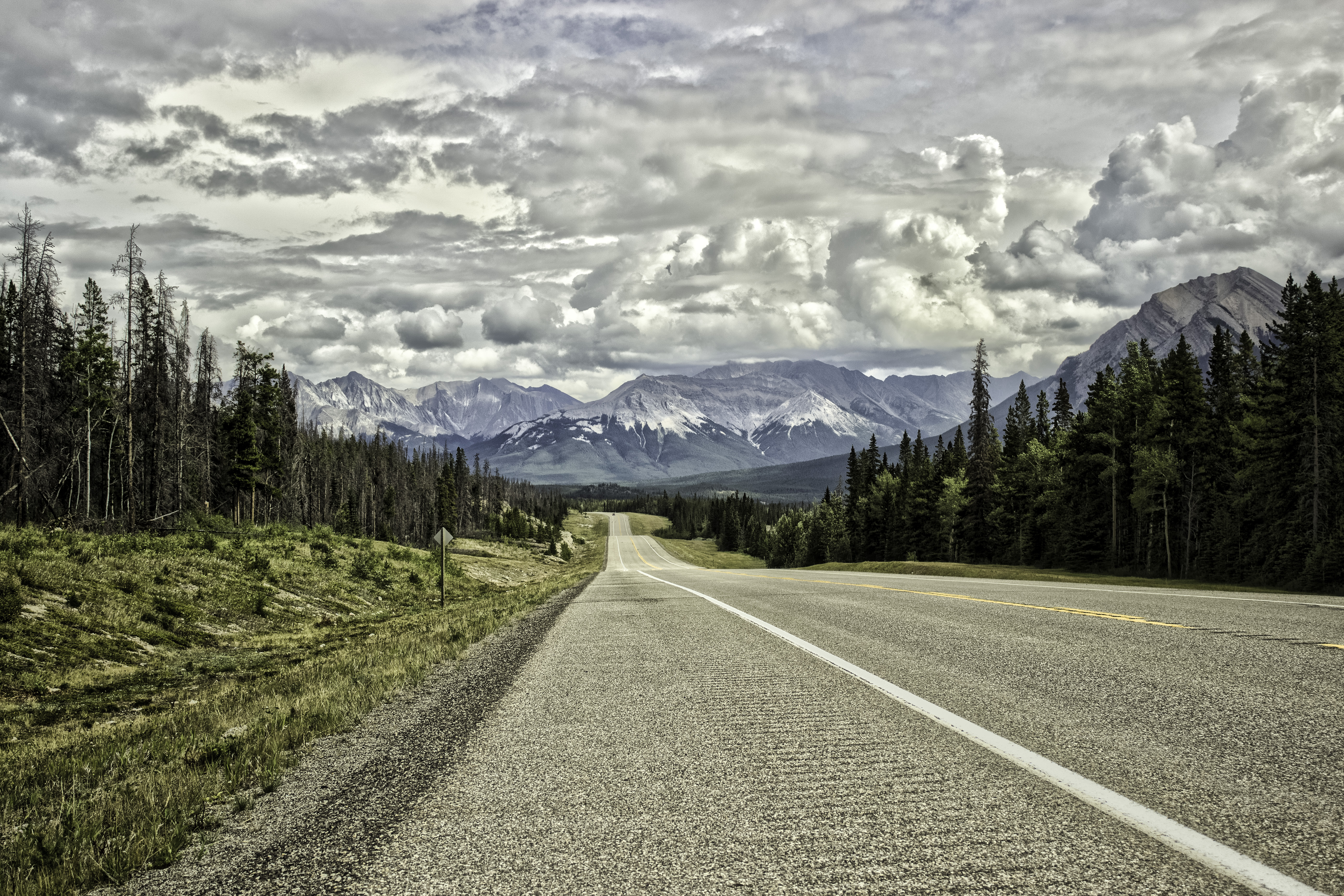
The Icefields Parkway — Highway 93 North in Alberta — runs 232 km between Lake Louise in Banff National Park and the town of Jasper in Jasper National Park. It travels through a concentration of glaciers, icefields, and mountain terrain that is unusually dense by any measure. The road is paved and open year-round under normal conditions, though sections close temporarily in winter for avalanche control work or after severe snowfall.
Planning the Drive
The conventional direction is north from Lake Louise toward Jasper, which positions the sun behind the driver for most of a morning departure and aligns the stopping sequence with the most significant landmarks. Most travellers allow a full day — eight to ten hours — to stop at viewpoints and short walking paths along the route. Driving time alone, at the posted limit of 90 km/h (reduced to 70 km/h in sections), is approximately two and a half to three hours without stops.
There is only one fuel stop along the entire 232 km route: Saskatchewan River Crossing, at roughly the midpoint. Filling up in Lake Louise before departure and again at Saskatchewan Crossing is standard practice. The Crossing operates seasonally, typically mid-May through mid-October; outside those dates, the fuel stop is closed and the entire route must be covered on a single tank from either end.
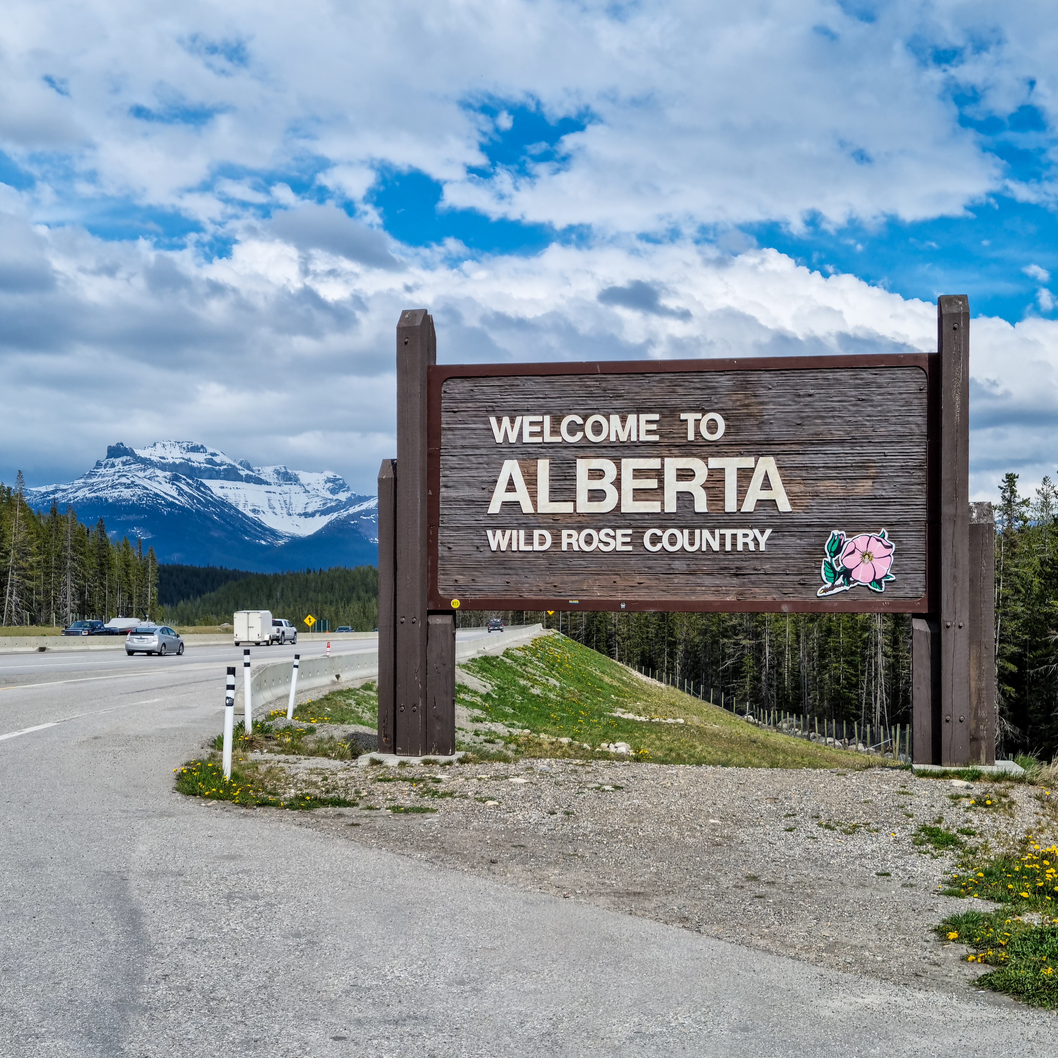
Starting Point: Lake Louise
Lake Louise village, at 1,536 m, has gas stations, a small grocery store, and accommodation at various price levels. Highway 93 North departs from the Trans-Canada interchange just west of the village. The first notable stop is Bow Lake, approximately 36 km north. Sitting at 1,920 m, Bow Lake is fed by the Bow Glacier, which also gives rise to the Bow River — the longest river running entirely within a single Canadian province.
Bow Summit and Peyto Lake
Bow Summit, at 2,069 m, is the highest point on any paved highway in Canada. The viewpoint above Peyto Lake is accessed via a short uphill trail from the summit parking area. From the upper outlook — approximately 200 m above the lake surface — the water appears a saturated turquoise caused by rock flour: fine glacial sediment suspended in the water column that reflects blue-green wavelengths preferentially. The viewpoint is one of the most frequently photographed locations in the Canadian Rockies. Allow twenty to thirty minutes for the parking lot, trail, and viewing time, and anticipate crowded conditions in July and August.
Saskatchewan River Crossing
Seventy-seven kilometres from Lake Louise, Saskatchewan River Crossing sits at the convergence of the North Saskatchewan, Mistaya, and Howse rivers. The service facility here — fuel, a small restaurant, and lodging — operates seasonally. The Crossing also marks the junction with Highway 11 (the David Thompson Highway), which runs east toward Red Deer. This is the only mid-route exit point for drivers who need to leave the Parkway before reaching Jasper.
Columbia Icefield
The Columbia Icefield spans the continental divide at the Banff-Jasper national park boundary. At kilometre 103 from Lake Louise, the Icefield Centre marks the accessible viewing point for the Athabasca Glacier, which extends from the icefield down to near road level. Parks Canada maintains markers along the valley floor indicating the glacier's documented position at various dates since the early twentieth century. The recession is visible and quantifiable from these markers; the toe of the glacier has retreated hundreds of metres from its early-1900s position.
A trail from the lower parking area leads to the glacier's toe. Walking onto the ice is not recommended without guidance, as crevasses and unstable ice surfaces are present near the terminus. Glacier walk tours operated by commercial concessionaires at the Icefield Centre provide access to the upper glacier surface. The Icefield Centre itself contains interpretive material on glaciology and the Columbia Icefield system, which covers roughly 325 km².
Sunwapta Falls and Athabasca Falls
Sunwapta Falls, at kilometre 175, are a pair of canyon waterfalls on the Sunwapta River. The upper falls are visible from the main parking area via a short flat walk; the lower falls require an additional trail of roughly 800 m one way. Athabasca Falls, at kilometre 200, direct the Athabasca River through a narrow quartzite gorge. The falls are not especially tall — approximately 23 m — but the volume of water and the tight canyon geometry make them among the most forceful waterfalls accessible by road in the Rockies. A maintained loop trail with several canyon viewpoints surrounds the falls, requiring twenty to thirty minutes.
Wildlife and Road Safety
The Parkway passes through habitat supporting elk, bighorn sheep, mountain goats, black bears, grizzly bears, and wolves. Wildlife jams — clusters of stopped vehicles beside an animal — are common in the shoulder seasons of May and September through October. Parks Canada guidelines specify staying at least 30 m from elk and deer, and at least 100 m from bears and wolves. Approaching wildlife for photographs is a leading cause of human-wildlife conflict incidents in the mountain parks.
Speed reductions in wildlife zones are posted but often not observed. Rear-end collisions in stopped wildlife traffic are recorded annually in Parks Canada incident data. When approaching a visible traffic cluster, reduce speed early and check mirrors before stopping.
Visiting in Winter and the Shoulder Seasons
Alberta's provincial parks require winter tires from November 1 to March 31 on Highways 93 and 93A within park boundaries. In January and February, sections of the Parkway may close for avalanche control operations, typically for several hours at a time. Full-day closures are possible but uncommon on the main route. Winter visits offer a different character to the drive: most commercial services are closed, wildlife tracks are visible in roadside snow, and the glaciers are accessible in a quieter state than summer. The Columbia Icefield Glacier Adventure tours operate through the winter period on a reduced schedule.
The shoulder periods — May and mid-September through October — offer a balance of reduced crowds and open services, though snowfall is possible at any point above 1,500 m during these months. Morning departures from Lake Louise in May should account for possible overnight snowfall at Bow Summit and the Icefield.